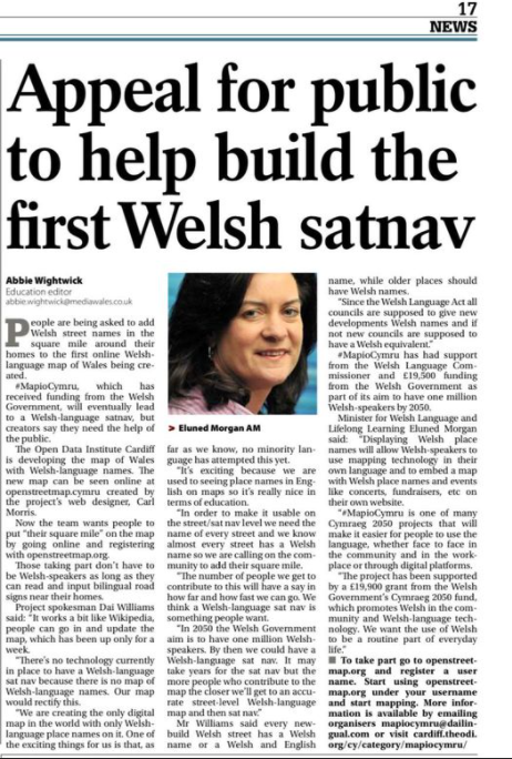
Our team has been working continuously on improving the number of Welsh place names that appear online since our inception in 2017 as partt of the Welsh Government’s Welsh Government #Cymraeg2050 project, and we are now very happy to announce that we’ll be working with the National Library of Wales this year on new aspects of the work.
The National Library has a great experience of crowdsourcing projects, and between now and April 2022 we hope to attract quite a crowd to a number of aspects of the work:
hold Wikidata-OSM Cymru events all over Wales –
e.g. school sessions (come into contact if you want to invite us over!) and collect audio clips of local names
As well as crowdsourcing the project, we will also use Wikidata to store and share Welsh language information. Wikidata is a sister project for Wikipedia, and we will take advantage of the wealth of Welsh data already in this huge dataset to improve the map in terms of the core data that we have at our fingertips. In addition to using the existing Wikidata we intend to add between 5,000 and 10,000 new data records with Welsh labels, for things like hills, mountains, lakes and public services and ensure that these are displayed on our Welsh map on OSM. Menter Iaith Mon will lead on a series of events in schools to improve the content of Wicipedia Cymraeg for their local places and spaces.
By making links between Wici and OSM projects we can help build a Welsh map rich in data and more ways for users to explore that data in Welsh.
We hope that this project will provide a framework for developers and organisations who want to build digital mapping services in the Welsh language.
In addition, by the end of this year’s project, we will move ‘back to the future’ and to the blue sky thinking of the popular SatNav concept that attracted a great deal of attention during our first year…and we’ll ask
what kind of additional steps are needed for an external company to add Welsh to the languages supported by SatNav?
Mapio Cymru, like OpenStreetMap itself, is a community project where people from different parts of the country co-operate via the ‘parent’ site https://osm.org ; which in turn feeds a lot of data to our Welsh-language map https://openstreetmap.cymru so if you’ve developed a taste for changing the world and would like to know more our work on any other aspect of the work of adding to the Welsh names that exist online – that therefore protects our history and culture and indeed our legacy – then please do get in touch
use #mapioCymru on social media, or email mapiocymru@dailingual.com
