Recently Mapio Cymru as a project has been working with the National Library of Wales to uncover the place names in Welsh that are in Wikidata, and improve them.
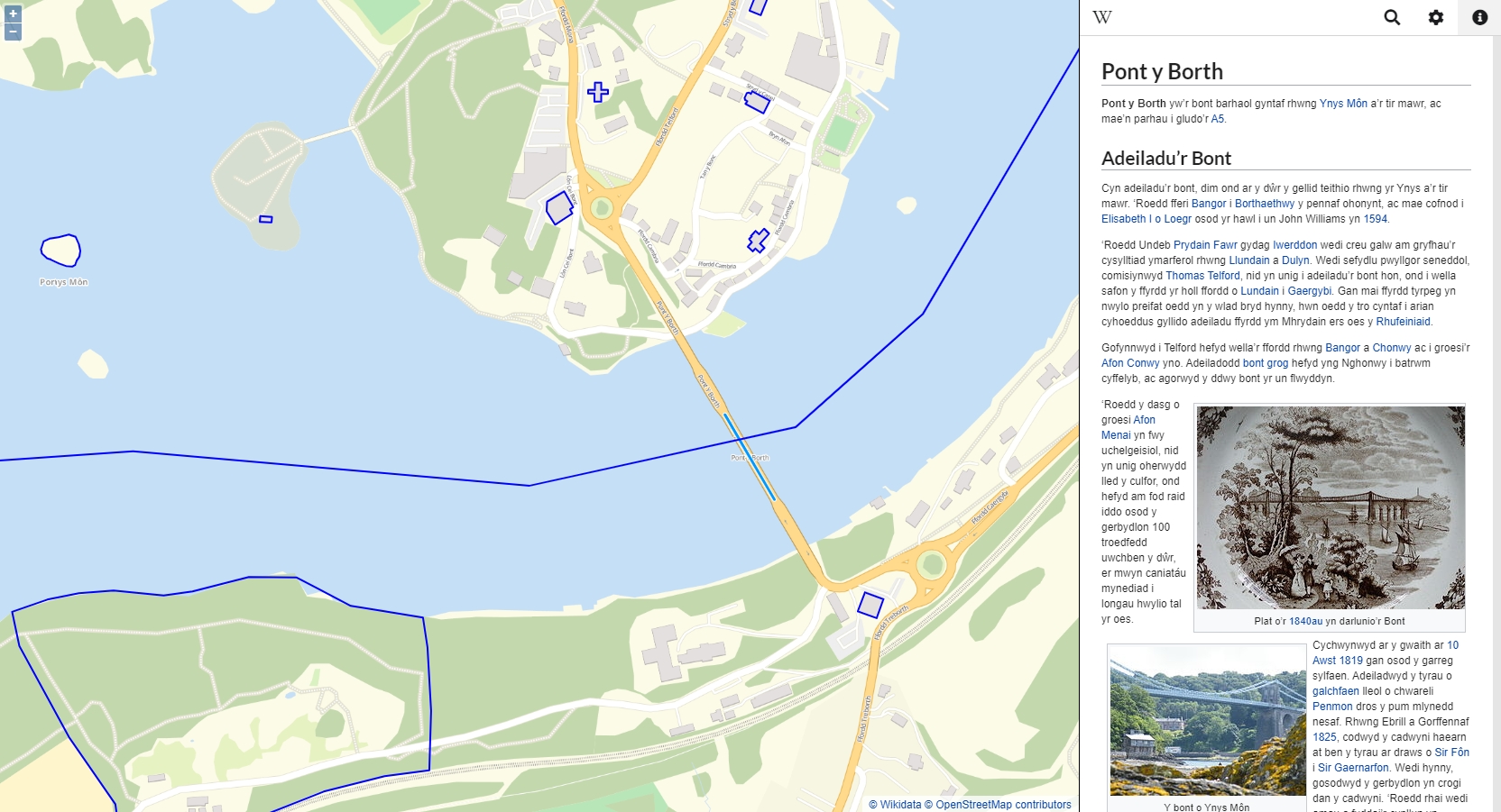
Now there are hundreds of names from Wikidata on the map along with the names from OpenStreetMap (OSM).
Here’s Jason Evans from the library to elaborate on the work and its importance:
[…]
Combining Wikidata with OSM allows us to build on the work of Mapio Cymru which has been developing a map of Wales using only Welsh language data held in the OSM database. By aligning and combining this with Wikidata the map can begin to grow further, offering more information to users through the medium of Welsh.
And this is important. Many places in Wales, be they towns, villages, hills or beaches have two names, or sometimes more. The names in Welsh are almost always the original place names, ancient in origin and steeped in history. These names are usually descriptive or refer to long lost saints, chieftains or fortresses. The English versions of place names are sometimes meaningless mutations of the Welsh originals or names imposed by medieval invaders or Victorian ‘modernisers’. Even today historic properties are renamed in English by their new owners and Welsh names are dropped from websites and maps in favour of English alternatives deemed to be ‘more easy to pronounce’.
This project aims to decolonise mapping in Wales, not by erasing English place names from the record but giving users the option to view and explore a modern map of Wales solely through the medium of Welsh – a service that didn’t really exist until the launch of Mapio Cymru.
So the first challenge with this project is actually to encourage communities to contribute their local Welsh place names to OSM or Wikidata so that they can be included in the map, and this is done through a series of discussions, workshops and editing events. […]