Do you take a keen interest in bus stops, railway stations, ferry ports, and other transport ‘nodes’?
Perhaps you are building a transport app or service, or looking into the provision and accessibility of transport in an area. Or perhaps you’re just a curious person.
What is NaPTAN?
If you’re still reading then let me tell you about NaPTAN which is a huge list of transport access points. The list includes bus stops, railway stations, tram stops, metro, underground, air and ferry, and includes locality information.
NaPTAN stands for National Public Transport Access Nodes, although it covers Wales, England, and Scotland. It is held by the Department for Transport of the UK government, who collect the data from various authorities, and publish it all as open data under the Open Government Licence (OGL).
Ble mae’r Gymraeg?
Just recently we’ve been alerted to a change in NaPTAN. The news is that it now includes place names in Welsh. Previously these were patchy or non-existent.
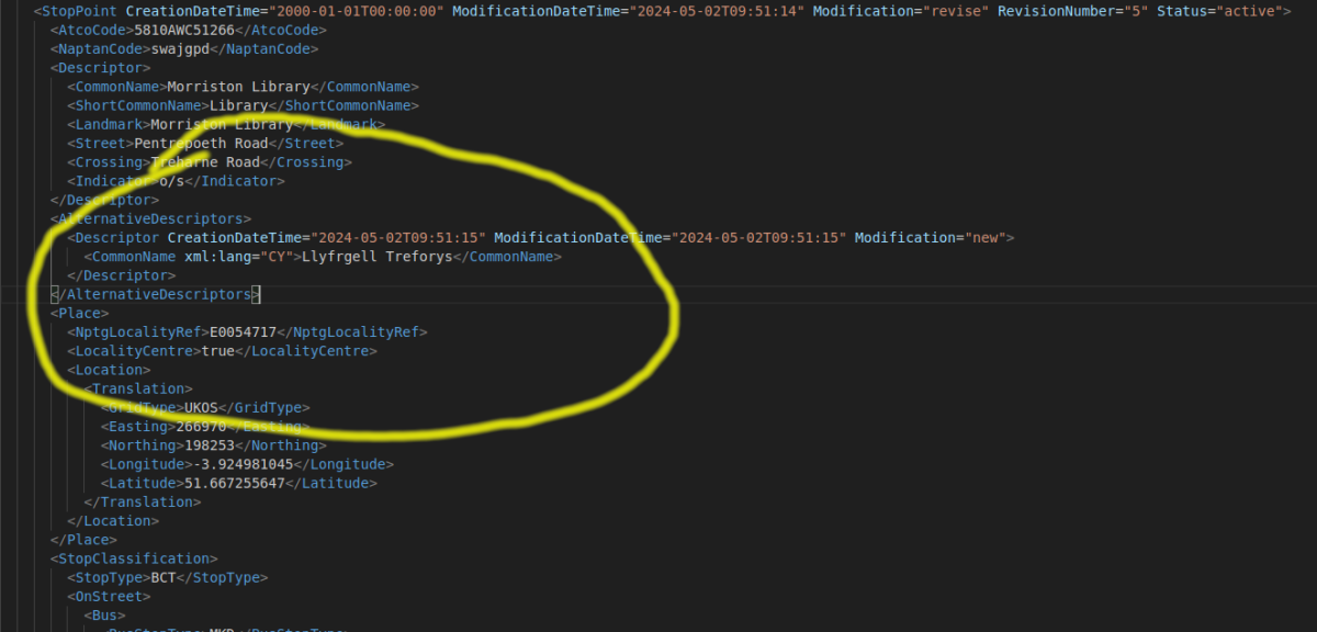
Check out the XML version of the data. You can download the data from the NaPTAN site or via the API. Look for the xml:lang=”cy” attribute, where “cy” or “CY” is the ISO 639-1 language code for Cymraeg. Here’s an example:
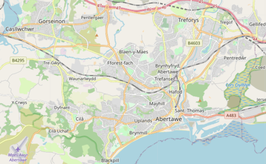
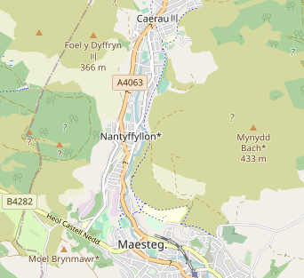
<StopPoint CreationDateTime="2000-01-01T00:00:00" ModificationDateTime="2024-05-02T09:51:14" Modification="revise" RevisionNumber="5" Status="active">
<AtcoCode>5810AWC51266</AtcoCode>
<NaptanCode>swajgpd</NaptanCode>
<Descriptor>
<CommonName>Morriston Library</CommonName>
<ShortCommonName>Library</ShortCommonName>
<Landmark>Morriston Library</Landmark>
<Street>Pentrepoeth Road</Street>
<Crossing>Treharne Road</Crossing>
<Indicator>o/s</Indicator>
</Descriptor>
<AlternativeDescriptors>
<Descriptor CreationDateTime="2024-05-02T09:51:15" ModificationDateTime="2024-05-02T09:51:15" Modification="new">
<CommonName xml:lang="CY">Llyfrgell Treforys</CommonName>
</Descriptor>
</AlternativeDescriptors>
<Place>
<NptgLocalityRef>E0054717</NptgLocalityRef>
<LocalityCentre>true</LocalityCentre>
<Location>
<Translation>
<GridType>UKOS</GridType>
<Easting>266970</Easting>
<Northing>198253</Northing>
<Longitude>-3.924981045</Longitude>
<Latitude>51.667255647</Latitude>
</Translation>
</Location>
</Place>
<StopClassification>
<StopType>BCT</StopType>
<OnStreet>
<Bus>
<BusStopType>MKD</BusStopType>
<TimingStatus>OTH</TimingStatus>
<MarkedPoint>
<Bearing>
<CompassPoint>NW</CompassPoint>
</Bearing>
</MarkedPoint>
</Bus>
</OnStreet>
</StopClassification>
<AdministrativeAreaRef>056</AdministrativeAreaRef>
<PlusbusZones>
<PlusbusZoneRef CreationDateTime="2000-01-01T00:00:00" ModificationDateTime="2012-07-06T00:00:00" Modification="new" RevisionNumber="0" Status="active">SWANSEA</PlusbusZoneRef>
</PlusbusZones>
</StopPoint>
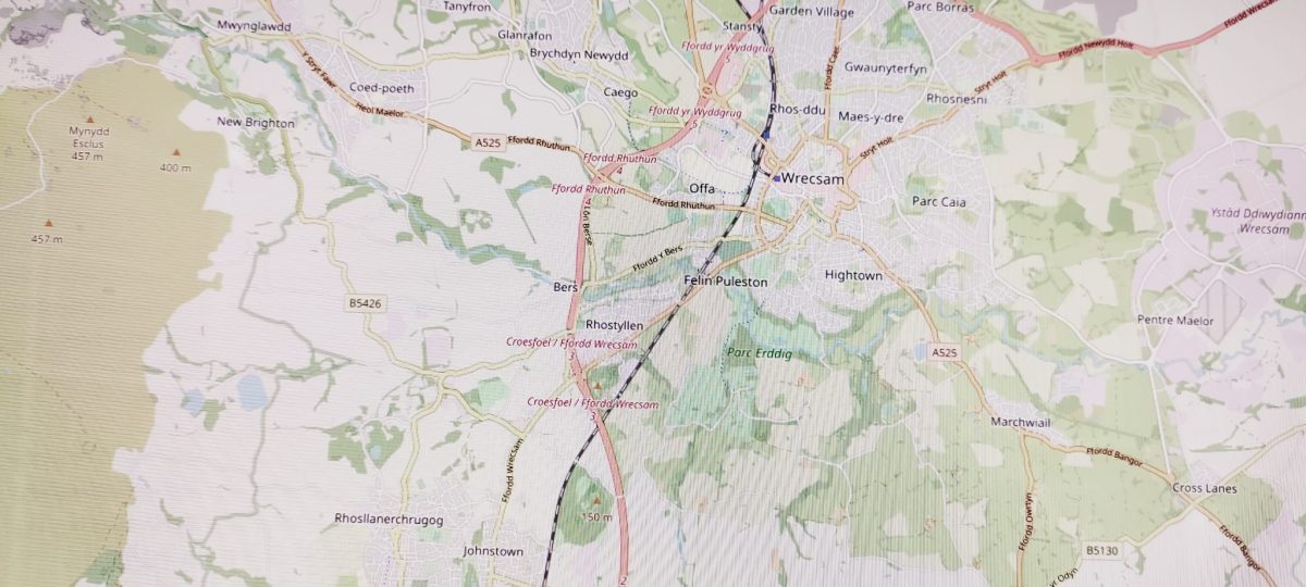
At the time of writing there’s a total of 24633 data fields that include Welsh-language data. Most of these are names of nodes. At a glance these range from “Canolfan Iechyd Blaendulais” (bus stop) to “Gorsaf reilffordd Penarlag” (railway station) and brand names which transcend language like “Tesco” (several bus stops).
You’ll also see “gd” or “GD” language code for Scottish Gaelic data.
It currently seems as though coverage for Welsh-language names varies by local authority area.
By all means let us know if you do anything with the data.
Difference in the CSV
For some reason the CSV version on offer does not include names marked as being in Welsh. Its CommonName field usually gives the name used in English (but there are some exceptions). Hopefully the CSV will be updated by DfT to include all the names and other data in Welsh, in the appropriate fields.
Feedback
It’s worth noting that this looks to be a work in progress and that the names and the precise locations of stops may be subject to review or change. If you have any feedback on the data itself then you should send it to feedbacktraveline@tfw.wales
Diolch
Thanks to our contacts at Transport for Wales and Welsh Government who’ve brought this change to our attention, and for all their support and work towards Welsh-language mapping services.