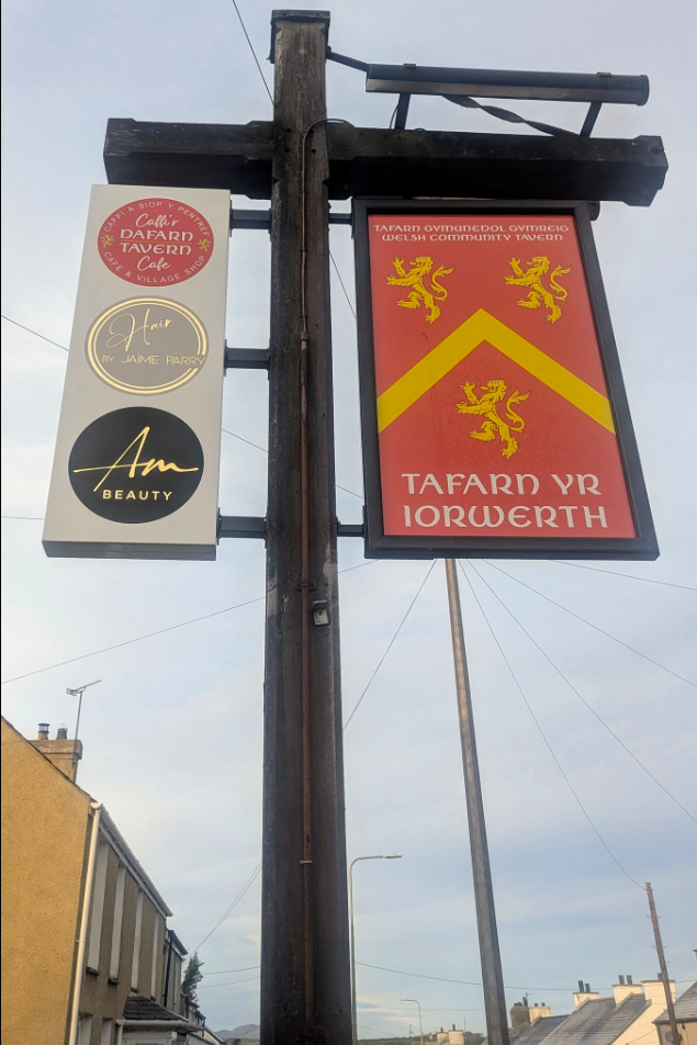
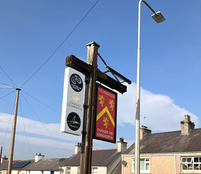
Dyma Phil Blake yn esbonio tarddiad enw Bryngwran, a thipyn o hanes Tafarn yr Iorwerth hefyd.
/
Hear Phil Blake discussing the etymology of Bryngwran, and the history of The Iorwerth Arms.
(This is a Welsh-language interview)
Category: Events
Put Your Pub on the Map!
Welsh Gov’s Welsh map can be edited by You…
If you believe that your local is the best local, or that the new extension-on-the-extension of your pub needs to be on the map, this is your opportunity to make sure it’s there for all to see. OpenStreetMap is the Wikipedia of the mapping world, and a Welsh project is now eager for people in Wales to put their pub on their Welsh version of the map. One of the first pubs to be added already is Tafarn yr Iorwerth on Ynys Môn…
Saturday 9th March saw Welsh Government’s ‘Mapio Cymru’ [Mapping Wales] project organise a day of sharing good practice and conversation in Tafarn yr Iorwerth (previously known as the Iorwerth Arms) in Bryngwran on Sir Fôn. The location was chosen as it recently had its Welsh name added to Mapio Cymru’s openstreetmap.cymru, the official Welsh-language online map of Wales, an important part of the national Data Map Wales project.
‘Mapio Môn’ was an opportunity for mapping enthusiasts to meet up to see what can be done to improve the provision of Welsh-language names on maps. Experts from the Welsh Place-name Society, Transport for Wales and from the community-run pub Iorwerth Arms itself shared ideas which could support the long-terms aim of Mapio Cymru – i.e. to make Welsh-language data equal in quality and quantity to the English-language data already available for Wales. This data could then be used freely in future mapping apps and services from any provider; across education, tourism, fitness, gaming, sustainability, and public services.
Welsh place-names have been a hot potato in Welsh-language heartlands, however Ordnance Survey use the official Welsh-language names too, as Steve Roddick, Welsh Place-name Society member Steve Roddick explained on Saturday:
“The Cable Bay name will be recorded, but it’s in the metadata of the digital map, hidden away from the eye but visible to the computer…so if you were sitting at the end of a 999 call and you carried out an enquiry, the name would come up, you’d know the location you need to send the ambulance to… For the paper map, the one the public use, the Welsh name is always recorded in preference…[Cable Bay] is a sort of a nickname, and generally nick-names aren’t visible on the Ordnance Survey map.”
Welsh-language names of historical importance can be kept in the public eye on Cymru / Wales’ official online Welsh-language map https://openstreetmap.cymru via osm.org. For further details on how to add local pubs and other features, follow #mapioCymru on social media or email mapiocymru@dailingual.com. Audio highlights from the bilingual discussions will be shared online soon on mapio.cymru.
Mapio Cymru is a Welsh Government-sponsored project by Data Orchard.
It was a pleasure to take part in the FOSS4G conference today in Cardiff.
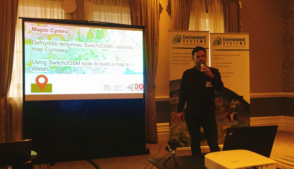
Here’s the recording of my talk about provisioning the Mapio Cymru server along with the slides.
This presentation will be of interest to people who want to advance mapping in lesser-resourced languages around the world. Then again, anybody with an interest in the overall growth of OpenStreetMap would do well to pay attention to the multilingual aspects of the project – in my view.
Thanks to the organisers and all participants for an insightful day at FOSS4G!
Mapio Cymru talk at the FOSS4G conference
If you’re interested in the server software and data aspects of Mapio Cymru and OpenStreetMap, come to my talk at FOSS4G.
FOSS4G is the international Free and Open Source Software Conference for Geospatial. This year it is happening on Thursday 17th November simultaneously over several physical sites around Wales, Scotland, and England – including Cardiff where I will be.
As Mapio Cymru we’ve shared our learnings and enthusiasm at several events and organised a few of our own events, variously through the medium of Welsh and English. This time my talk will be through the medium of English. I am going to focus on the more technical side – what happens on the servers, plus some context about the Welsh language situation for those who might need it.
I’ll be discussing how we’ve built a map of Wales in Welsh, what technical and other challenges we’ve overcome, what the next steps will be, and share our overall vision for bringing mapping in Welsh to all.
Hopefully somebody out there will be inspired to contribute to mapping in the Welsh language or OpenStreetMap as a wider project, or start their own initiative – perhaps for another lesser-resourced language.
At the time of writing this I’ve just heard that the allocation of tickets for the Cardiff branch of the event is now running low. If you’re unable to get a ticket you can still watch the recording afterwards.
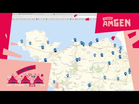
This post is a video recording of our event Gweithdy Mapio Cymru held at Eisteddfod AmGen 2021.
The video is entirely through the medium of Welsh.
In the video we discuss:
- 0:00 Intro to Mapio Cymru project and OpenStreetMap
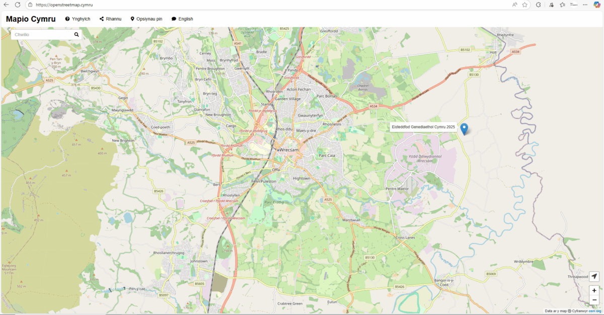
- 18:00 Map of Eisteddfod Genedlaethol locations
- 25:00 Intro to our use of Wikidata
- 32:00 Help complete the list of Grade I listed buildings in Wales (still need help please)
- 46:35 General chat: about names of fields in Wales, where to put names, the importance of distributing names under freedom-respecting licences for use in the future
Diolch o galon i Eisteddfod AmGen a’r Lle Hanes am y croeso, ac wrth gwrs i bawb a gymerodd rhan yn y gweithdy!
UPDATE: Here’s the video of the event.
This is an introduction to the Mapio Cymru project which is creating a map of Wales with place names in Welsh.
During the session there will be opportunities to play with the map, find names and locations, and contribute information to the next generation of Welsh map apps.
The work is relevant to education, leisure, employment, heritage and community – and history.
The organisers will describe how the project takes advantage of open and freely-licensed web resources such as OpenStreetMap and Wikipedia / Wikidata, and what you can do to get involved.
No prior experience or understanding is required, just curiosity!
This Zoom workshop has been organised by the Mapio Cymru project in association with Y Lle Hanes.
dydd Iau 5ed Awst 2021
3PM tan 4PM
On Zoom
Please note that this event at Eisteddfod AmGen 2021 will be held through the medium of Welsh. Please see the post in Welsh for further details.