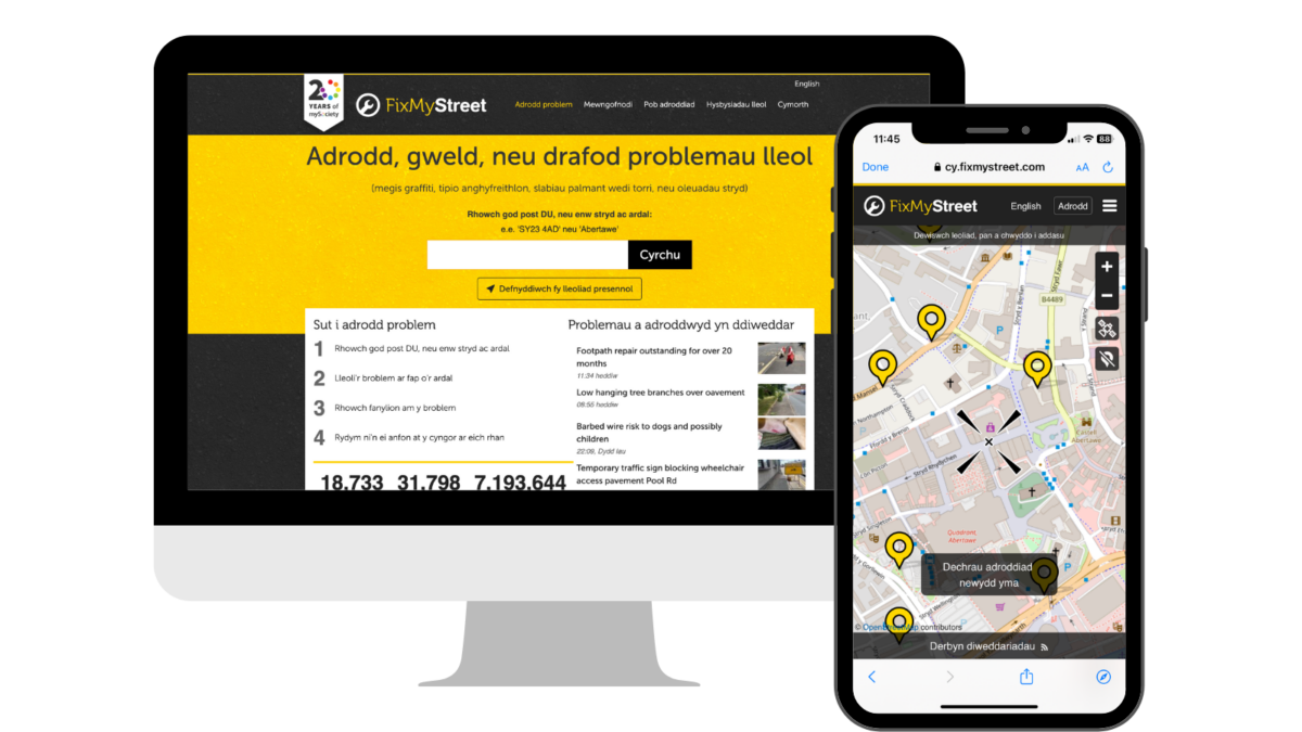
FixMyStreet is now available in Welsh
Welsh-speaking users of FixMyStreet, the national reporting service for local street and environmental problems, can now make reports using a Welsh-language map provided by Mapio Cymru.
Broken street lights, fly-tipping, potholes and other local, place-based issues in Wales can now be reported to the correct authority by citizens in Welsh as well as in English via FixMyStreet, the long-running reporting service for street and environmental problems provided by civic technology charity mySociety.
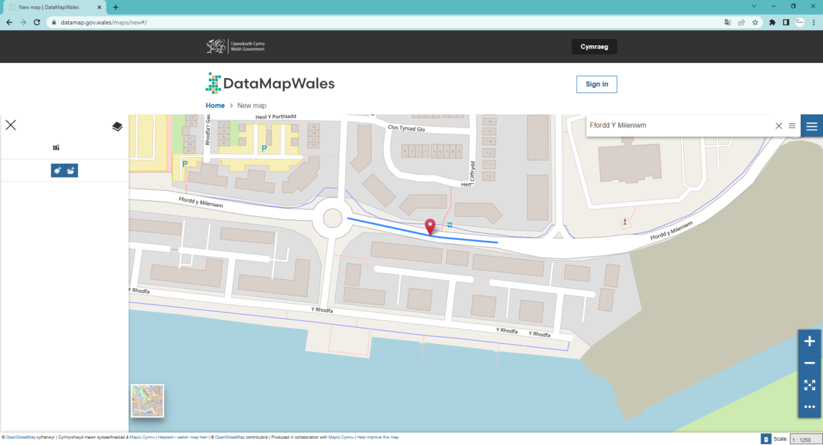
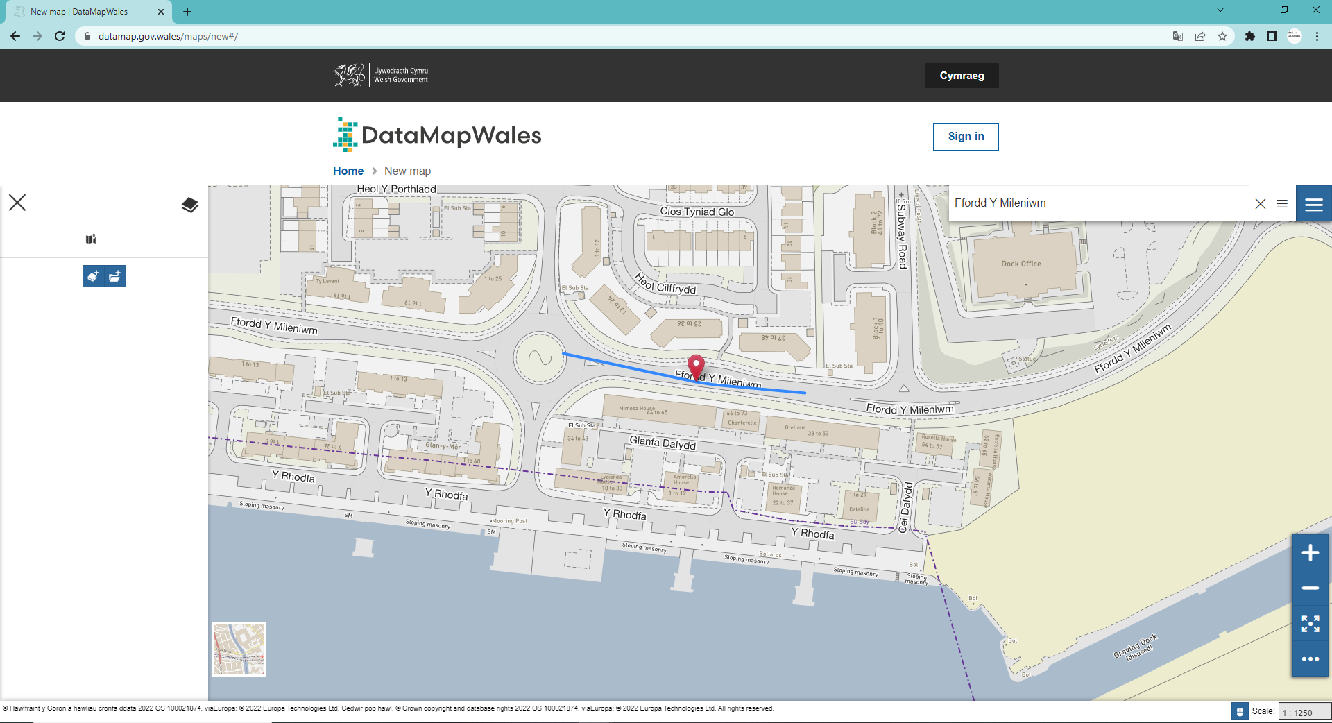
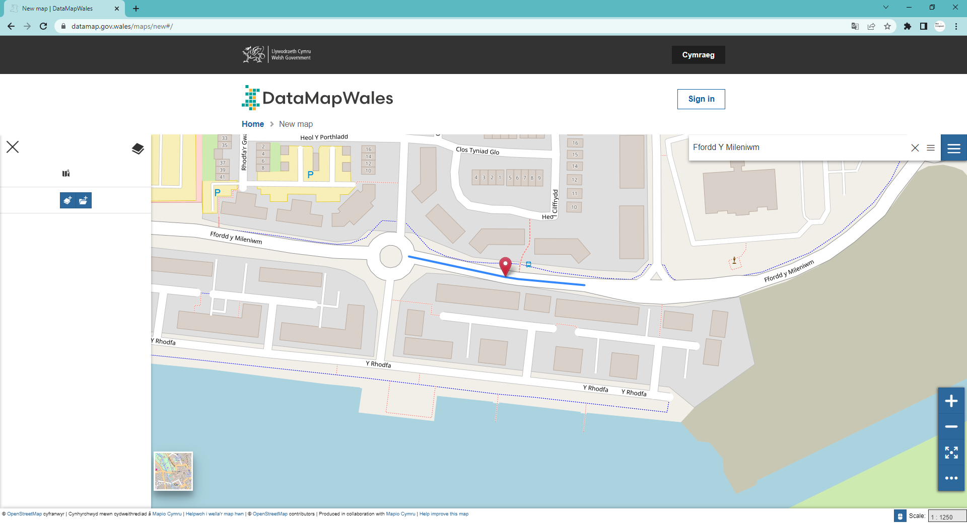
FixMyStreet is a progressive web app that enables citizens across the UK to report local problems to the authority responsible for fixing them, even if they do not know who that is. For the first time since its launch in 2007, users in Wales wanting to make reports in Welsh will be able to view a Welsh-language version of the website and app, including a Welsh-language map provided by Mapio Cymru.
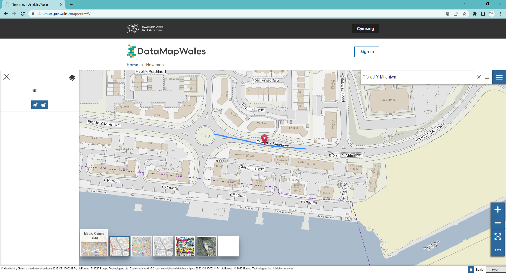
Over half a million people in Wales speak Welsh and the Welsh Government aims to double this by 2050. Having digital services that work as well in Welsh as they do in English is key to achieving this growth in the language. Launched in 2019, Mapio Cymru is a project that aims to ensure mapping services are as good in Welsh as they are in English. Using open data sources Mapio Cymru provides a Welsh-only map of Wales. It also works with organisations across Wales to improve mapping services in the Welsh language.
Louise Crow, Chief Executive at mySociety, said: “FixMyStreet was built to make it easier for citizens to report problems in their communities. We are delighted to be able to make the service accessible to Welsh-speaking citizens, with a fully translated reporting process and a Welsh-language map, enabling users to select the street names and locations with which they are familiar. We look forward to seeing the Welsh-language version of the service put to good use by more citizens who care about improving where they live.”
Ben Proctor, Innovation Director at Data Orchard CIC which runs the Mapio Cymru project, said: “Digital mapping technology is really powerful and easy for organisations like mySociety to use in English. Sadly it’s not the same in Welsh. We aim to make it easier for organisations to deliver services on the highest quality Welsh-language mapping available.”
Welsh-speaking users can start using the Welsh-language version of FixMyStreet straight away by heading to cy.fixmystreet.com or downloading the FixMyStreet app from the relevant app store.
There are gaps in Mapio Cymru’s Welsh language map because the project relies on volunteers and public bodies to contribute definitive Welsh names. Volunteers can help to plug the gaps by adding the Welsh names for features on the map (buildings, roads, mountains, fields and so on). Public bodies can help to plug the gaps by publishing the Welsh names that they hold for features under an open licence. The Mapio Cymru team is available to advise on these issues. Just visit mapio.cymru.
About FixMyStreet
FixMyStreet is an independent, free-to-use progressive web app, built by the charity mySociety to enable UK citizens to report, view and discuss local problems.
All reports made via FixMyStreet are sent directly to the authority responsible for fixing the problem, who can then reply to the report-maker to update them on the status of its resolution. Reports and their responses are also displayed publicly on the map to increase transparency within a community.
The software is available open source for use globally (see fixmystreet.org), or there is a fully hosted and integrated Pro version for which councils or other public authorities can pay an annual fee provided by the charity’s wholly owned subsidiary SocietyWorks (see societyworks.org).
About mySociety
mySociety is a non-profit organisation seeking to repower democracy, putting more power into more people’s hands through the creation of digital technologies and data. Visit mysociety.org for more information.
About Data Orchard CIC
Data Orchard CIC is a social enterprise helping organisations use data for better decisions and greater impact. Data Orchard CIC combines specialist skills in research, statistics and data with a passion for making the world a better place socially, economically and environmentally. Visit dataorchard.org.uk for more information
Mapio Cymru is a Data Orchard CIC project. Visit mapio.cymru for more information.
