Categories
Guides

How to use Mapio Cymru as a Welsh-language base map on your system

A couple of people have asked me how to use Mapio Cymru as a base map on their websites, apps, and other systems. This is a good way of providing visitors to your website with a map of Wales in the Welsh language.

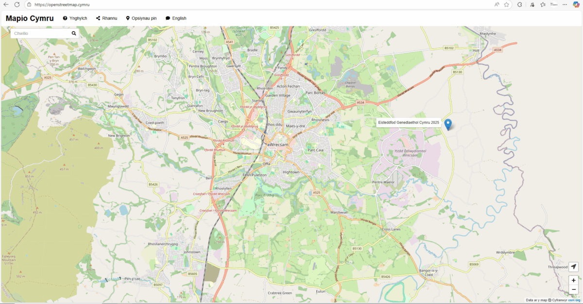
In other words you can show our map tiles, which are the PNG images available through openstreetmap.cymru.

Then you can do whatever your system allows such as panning, zooming, and perhaps putting pins, shapes, images and other things on the map.

Embed

Before we press ahead, everything that follows is aimed at somebody who is comfortable coding, maintaining a system, or using GIS software.

If you DON’T want to work directly with the base map it’s possible to embed Mapio Cymru on a website. This is probably the fastest and simplest method. It’s very similar to how you would embed video players etc (using an iframe).

Go to openstreetmap.cymru and click Rhannu/Share for details on how to do this. You can get an HTML embed code or alternatively a direct link to a specific view of the map.

Which systems?

The rest of this blog post will describe how to use Mapio Cymru as a base map, for people who want to be a bit more technical.

There are quite a few systems that offer to set a base map of your choice, such as things that run Leaflet.js, e.g. Overpass Turbo.

For example there are a few WordPress plugins that allow you to show maps on your website – such as Leaflet Maps Marker, WP Go Maps, and others.

If you have the skills you could create a website from scratch with Leaflet.js and use Mapio Cymru as a base map. Unfortunately the details on how to do this go beyond this little guide today, but there are guides on the web!

There is also desktop software that uses base maps of your choice such as QGIS.

For those interested Mapio Cymru’s CORS headers now allow direct use of tiles. Please note that some content management systems may show a security warning about cross-site scripting.

The all-important settings

Use the address below as the base map:

https://openstreetmap.cymru/osm_tiles/{z}/{x}/{y}.png

Also if you have to give levels of zoom, put 3 as the minimum and 16 as the maximum.

Here is an attribution or credit you should give, to fulfil the open licensing conditions of OpenStreetMap data. Here’s the HTML version:

Defnyddiwch <a href=”https://www.openstreetmap.cymru” target=”_blank”>openstreetmap.cymru</a>. Data ar y map &#x24BD Cyfranwyr <a href=”https://openstreetmap.org” target=”_blank”>osm.org</a>

Alternatively here’s the plain text version:

Defnyddiwch openstreetmap.cymru. Data ar y map © Cyfranwyr osm.org

Get in touch

If you have managed to get the map on your website or system, please leave a comment with the method you used – and a link to the specific page on your website if possible.

Terms

Please be respectful and reasonable with your use of the Mapio Cymru server. Get in touch if you want to discuss ‘heavy’ use, especially if you are an organisation, service, or project of significant size.

We’ll have to review how things go if demand grows.
Categories
Guides

Command-line tools for you to create an OpenStreetMap-derived base map in the Welsh language

All the custom code which we use for the Mapio Cymru Welsh-language map server is now available in a repository.

This will be of particular interest if you want to provision your own server which produces map tiles in the Welsh language (or perhaps a different language of your preference). All code is licensed under GPL, allowing you to run it for any purpose, modify it, and redistribute it.

Please note that a basic knowledge of how to use the Linux command line is assumed.

The main tool is a Lua script called cartonamecy2name.lua which is run when importing data. It determines the name to be stored in the database, for any given entity on the map. OSM data is the main source for Mapio Cymru, particularly the name:cy and name tags, and also Wikidata name information via OSM’s wikidata tag. In editing these sources we also refer to open data from the Welsh Language Commissioner.

Many more details are given in the README file in the repository, including step-by-step instructions for use.

If you just want to use a Welsh-language map which already exists, ignore the above and head to openstreetmap.cymru!

Categories
Milestones

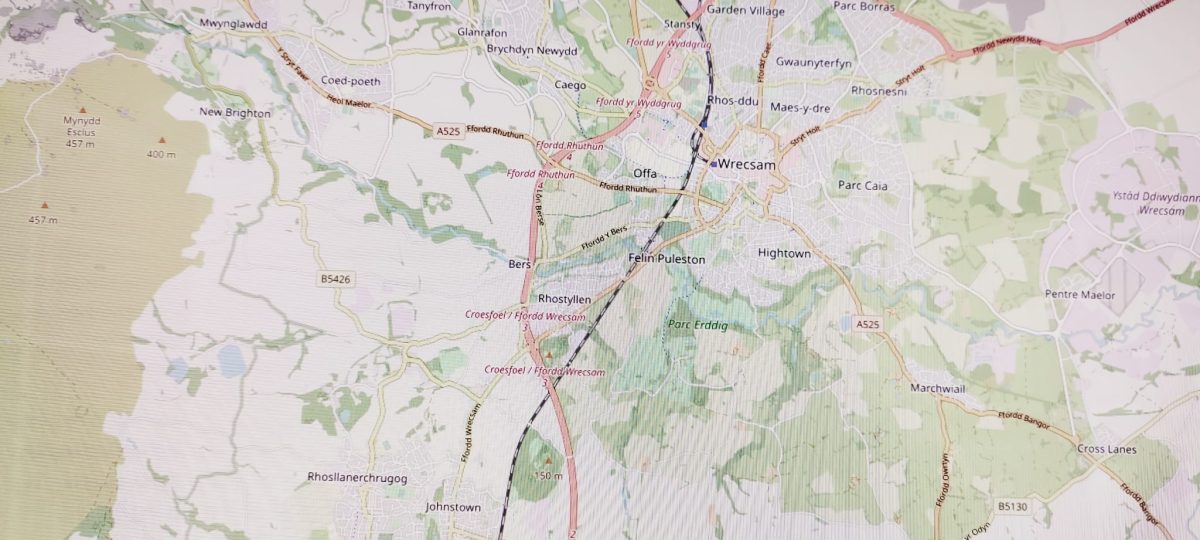
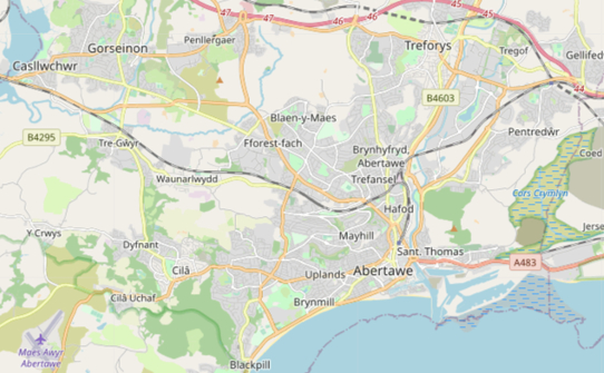
Mapio Cymru’s official map of Wales!

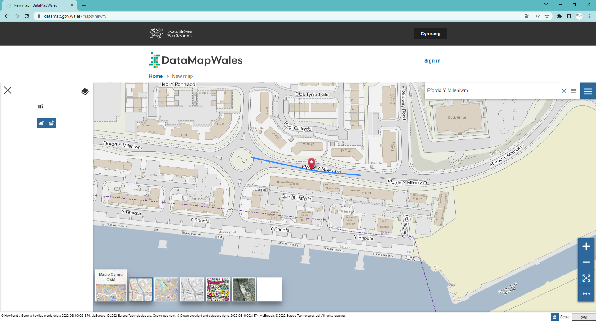
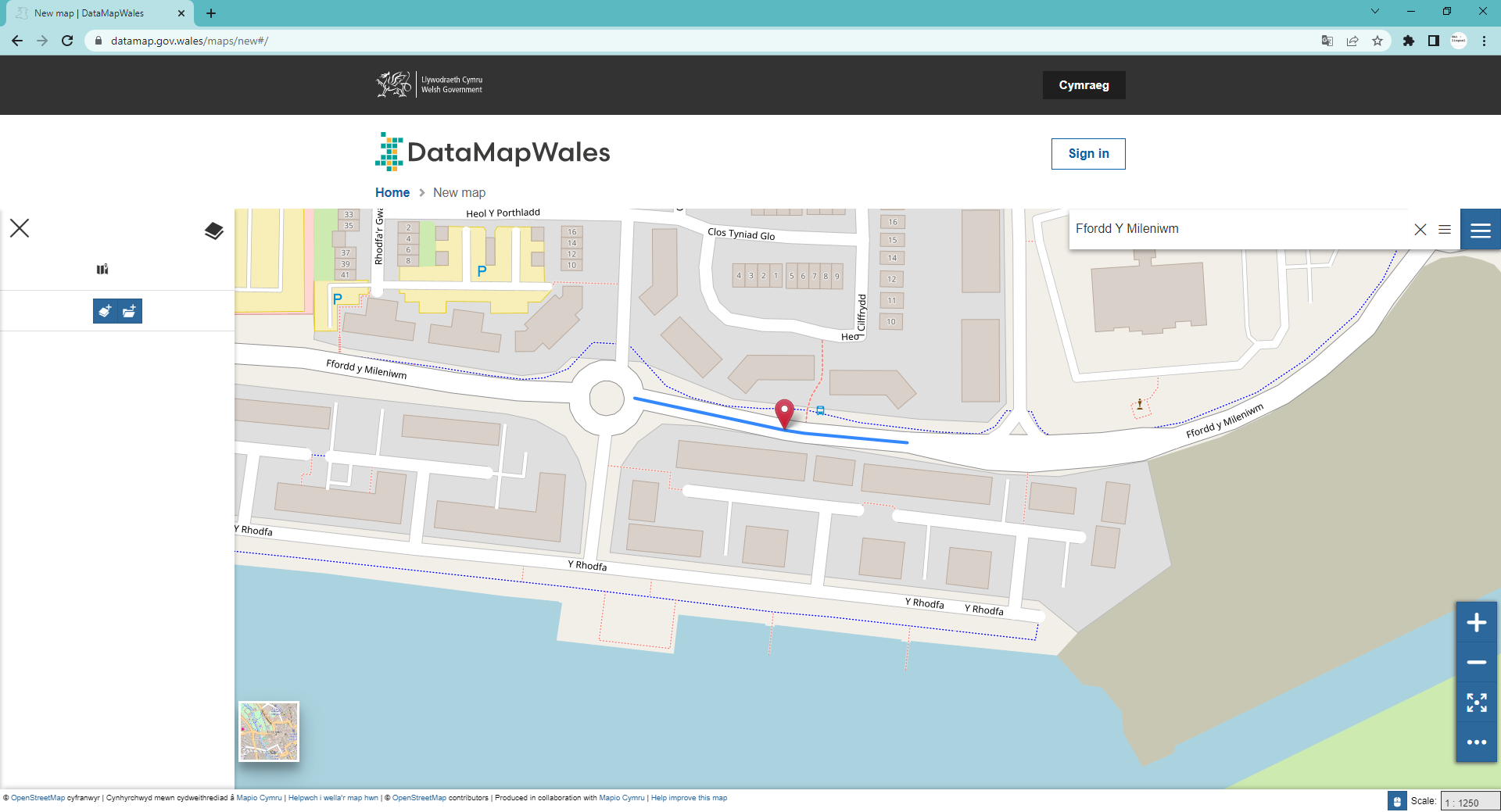
Mapio Cymru now provides Welsh language mapping data to Welsh Government’s Data Map Wales
Users of the Welsh Government’s digital mapping platform will be able to visualise Wales entirely in Cymraeg thanks to a new partnership. “Data Map Wales” is a Welsh Government service that allows people to search and visualise geographic data about Wales.
This data can be displayed on a choice of digital maps; and now one of these options is to see a map in Welsh. This service is provided by Mapio Cymru: a project that aims to ensure mapping services are available in Welsh as well as English.
Mapio Cymru has been providing a Welsh-language map of Wales for four years at openstreetmap.cymru but this is the first time they’ve provided Welsh Government.with their data.
According to Glyn Jones, Chief Digital Officer for Welsh Government, Mapio Cymru’s work with the new Data Map Wales team, “…is a flagship example of what we’re looking to achieve.”
He went on to say,
“it’s a really good example of good partnership working, ensuring a bilingual experience for the user”.
Speaking on behalf the Mapio Cymru project Wyn Williams said:
“This is an important step towards allowing people to access digital mapping in Welsh as easily as they can in English. We’re delighted to be working with the Data Map Wales team to support their services in Welsh.”
“The Welsh-language map is not as data rich as the English-language maps available from, for example, Ordnance Survey, because of the difficulty of accessing accurate Welsh-language mapping data. Mapio Cymru is working hard to increase the amount of Welsh language mapping data available to all.”
Mapio Cymru is a project hosted by Data Orchard CIC and part-funded by the Welsh Government’s #Cymraeg2050 project that works towards supporting a million regular users of Welsh.
Note to editors:
For more information, or to interview Ben Proctor of Data Orchard, openstreetmap.cymru’s web developer Carl Morris and/or Wyn Williams, Welsh lead for mapio.cymru email post@mapio.cymru 

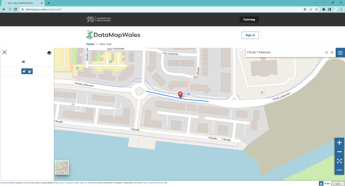
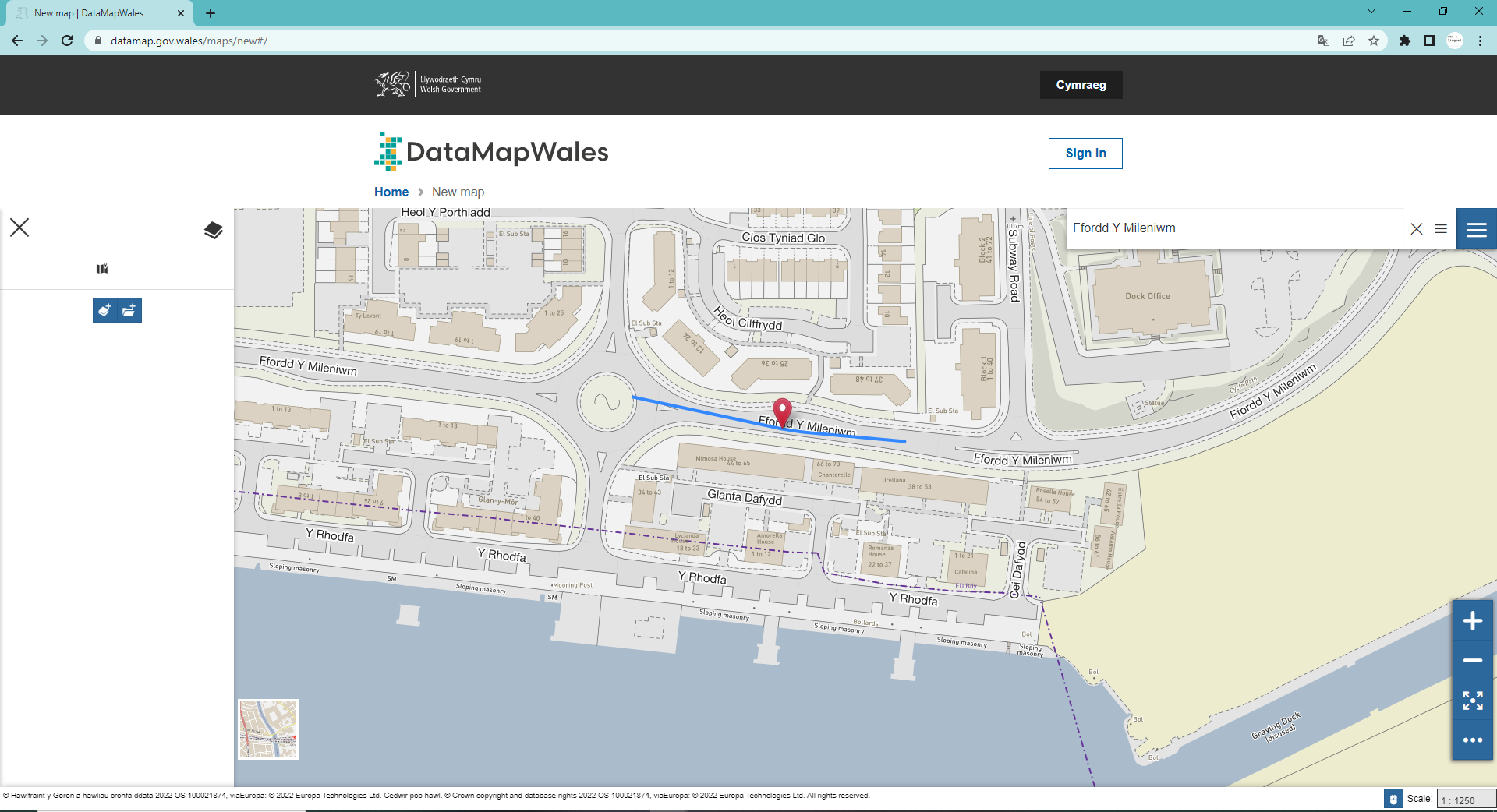
IMAGES

This is Data Map Wales:

This is how to select Mapio Cymru on Data Map Wales!

Mapio Cymru on Data Map Wales!